This topographic map of Almaty extends over two sheets, and was published in 1994, by the ‘Main Administration of Geodesy and Cartography under the Council of Ministers of the Kazakhstan Republic’. The map is in Russian, and its subtitle, ‘plan-scheme’, indicates it has been censored.
The map has been rotated 90 degrees anticlockwise, latitude and longitude replaced with an arbitrary grid, and heights removed from the contour lines. Streets and railways are simplified, bright colours obscure the landscape, and the airport replaced with a symbol in a blank field.
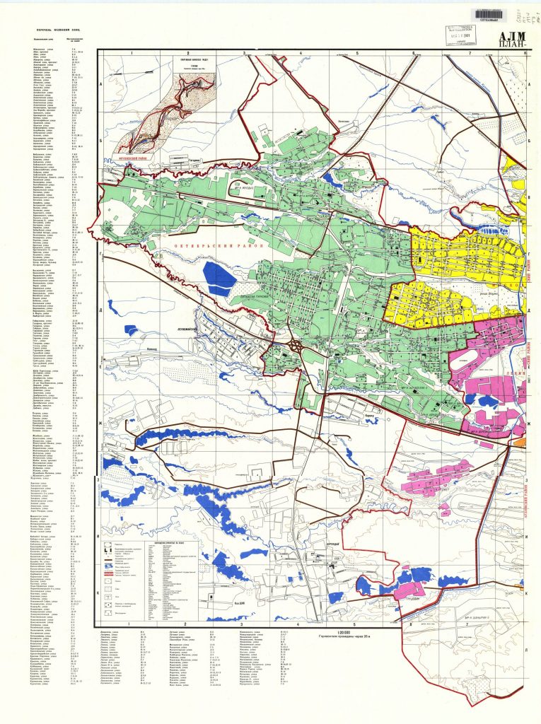
Almaty 1 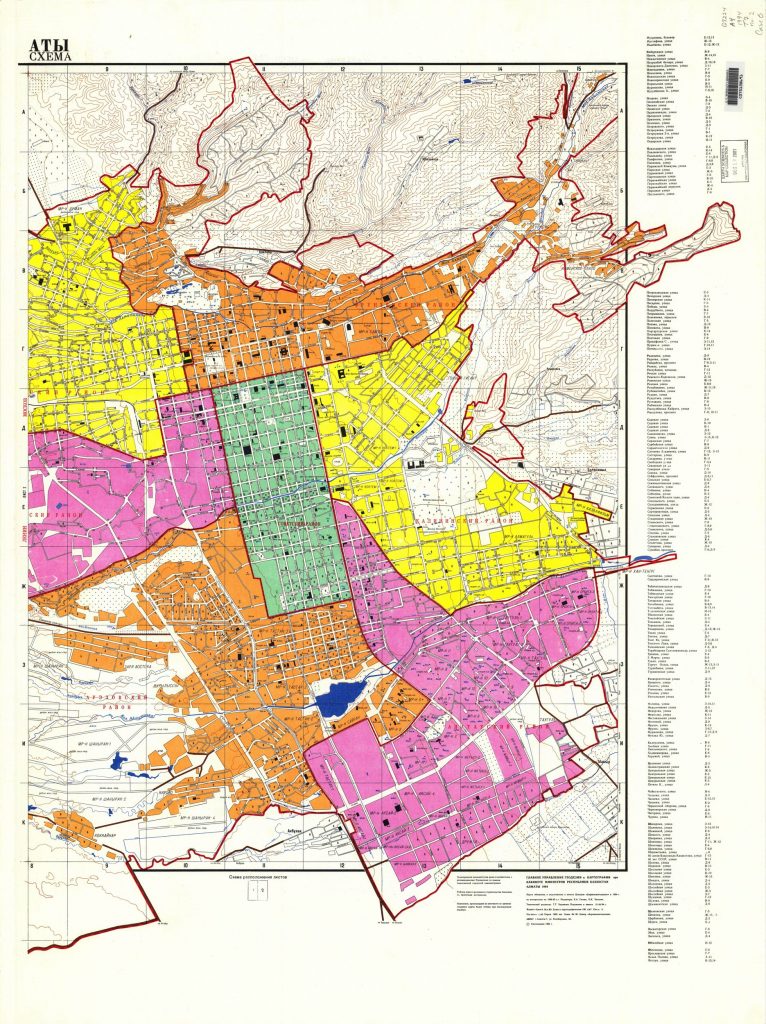
Almaty 2